|
|
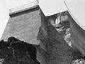
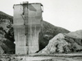
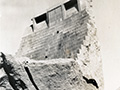
St. Francis Dam
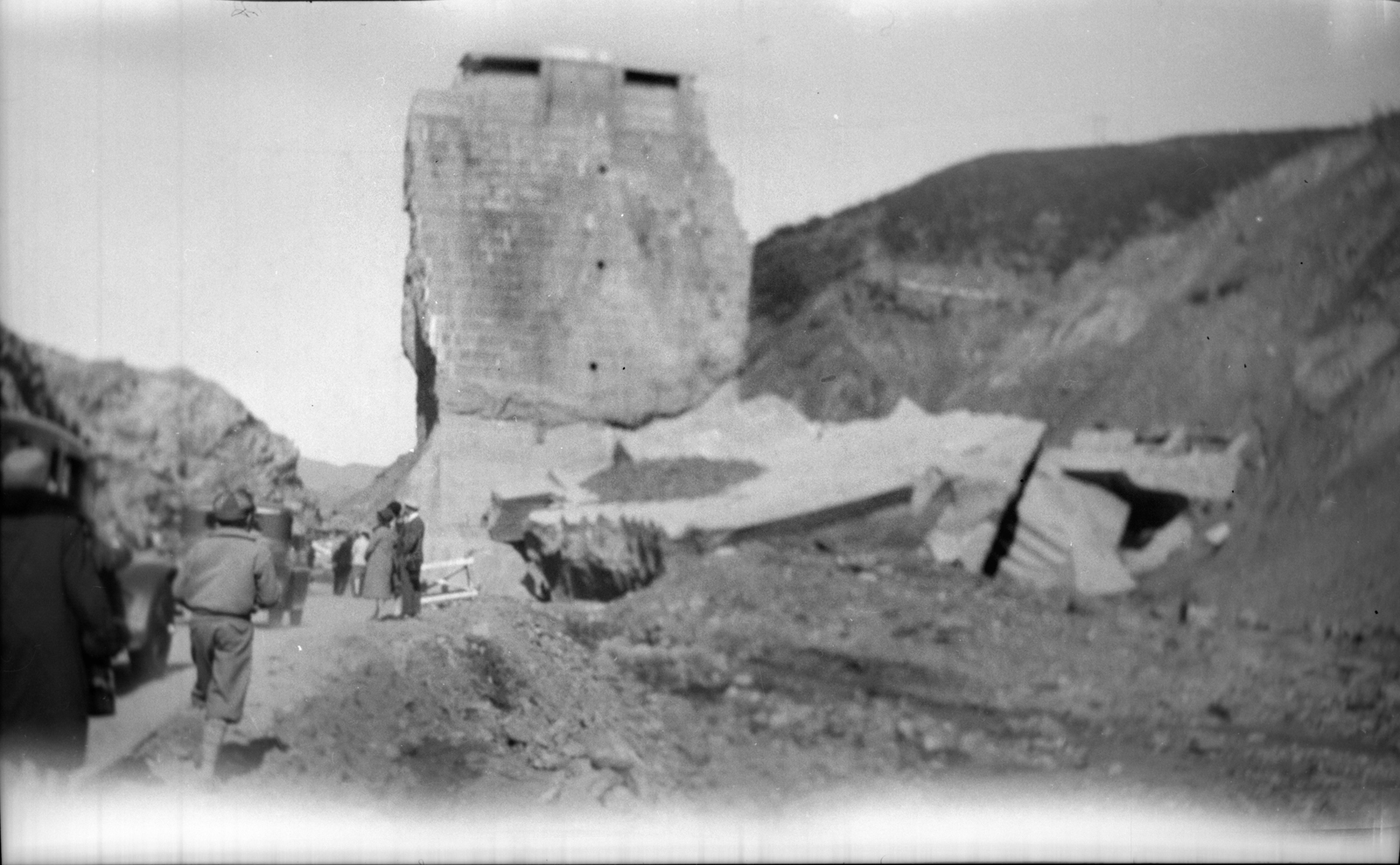
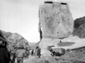
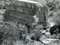
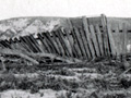
Click image to enlarge A section of the St. Francis Dam, known as the "tombstone" or the "monument," remained standing after the dam broke on the night of March 12, 1928. To the consternation and embarrassment of Los Angeles water officials, it became a tourist attraction. In May 1929, more than a year later, it was dynamited into oblivion after an adventurous young man fell from the top of it and died. North-facing photograph. 2¾x4½-inch black and white transparency (negative), acquired at a garage sale. Judging from the contents of an envelope included with the nearly 600 photographs in this garage-sale lot, the image can be sourced to a Russell Ryan of 3560 Opal Street in the Boyle Heights section of Los Angeles. According to the 1940 Census, Ryan was a woodworker in a wood working shop, born about 1902 in Canada. His wife, Charity, was born about 1896 in Illinois, and they had a son, Russell Jr., born about 1925. The elder Ryan had his photographs developed at Sunrise Pharmacy, 1162 S. Lorena St. in Boyle Heights, Thomas H. Peffer, proprietor. See a similar photograph here.
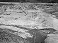
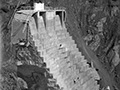
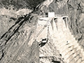
Construction on the 600-foot-long, 185-foot-high St. Francis Dam started in August 1924. With a 12.5-billion-gallon capacity, the reservoir began to fill with water on March 1, 1926. It was completed two months later. At 11:57:30 p.m. on March 12, 1928, the dam failed, sending a 180-foot-high wall of water crashing down San Francisquito Canyon. An estimated 411 people lay dead by the time the floodwaters reached the Pacific Ocean south of Ventura 5½ hours later. It was the second-worst disaster in California history, after the great San Francisco earthquake and fire of 1906, in terms of lives lost — and America's worst civil engineering failure of the 20th Century.
DI2806: 19200 dpi jpeg from 2¾x4½-inch BW transparency (negative). |
Dam & Reservoir
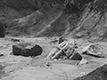
Floodpath, Rubble
Block 5
West Abutment
Empty Reservoir
Tombstone
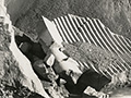
Tombstone with Ladder x2
Climbing Tombstone
Visiting Tombstone
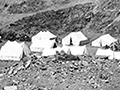
Picnic at Dam Site
Dam Rubble x2
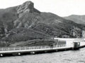
Tombstone & Perimeter Road
Upended SPRR Track
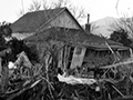
Wrecked Farmhouse
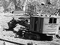
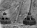
PH-2 Reconstruction
PH-2 Reconstruction
PH-2 Reconstruction
|

The site owner makes no assertions as to ownership of any original copyrights to digitized images. However, these images are intended for Personal or Research use only. Any other kind of use, including but not limited to commercial or scholarly publication in any medium or format, public exhibition, or use online or in a web site, may be subject to additional restrictions including but not limited to the copyrights held by parties other than the site owner. USERS ARE SOLELY RESPONSIBLE for determining the existence of such rights and for obtaining any permissions and/or paying associated fees necessary for the proposed use.
