|
|
St. Francis Dam Disaster
San Francisquito Canyon & Floodpath
[1][2][3][4][5][6][7][8][9][Fillmore Herald]
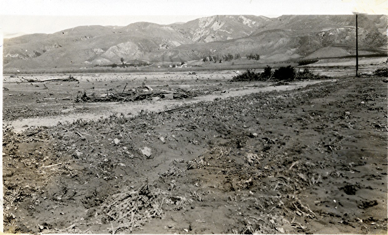
Floodplain of the St. Francis Dam disaster. Probably Castaic Junction where Interstate 5 and Highway 126 intersect today, looking east. Photos courtesy of Caroline and Glenn Marshall; shot by Caroline Marshall's grandparents on March 13, 1928.
Seven miles up San Francisquito Canyon Road from today's Copper Hill Drive, construction on the 700-foot-long, 205-foot-high St. Francis Dam started in August 1924. With a 12.5 billion-gallon capacity, the reservoir began to fill with water on March 1, 1926. It was completed two months later.
At 11:57:30 p.m. on March 12, 1928, the dam failed, sending a 180-foot-high wall of water crashing down San Francisquito Canyon. An estimated 431 people lay dead by the time the floodwaters reached the Pacific Ocean south of Ventura 5½ hours later.
It was the second-worst disaster in California history, after the great San Francisco earthquake and fire of 1906, in terms of lives lost — and America's worst civil engineering failure of the 20th Century.
CG2807: 300 dpi jpeg from original print
The site owner makes no assertions as to ownership of any original copyrights to digitized images. However, these images are intended for Personal or Research use only. Any other kind of use, including but not limited to commercial or scholarly publication in any medium or format, public exhibition, or use online or in a web site, may be subject to additional restrictions including but not limited to the copyrights held by parties other than the site owner. USERS ARE SOLELY RESPONSIBLE for determining the existence of such rights and for obtaining any permissions and/or paying associated fees necessary for the proposed use.
