|
|
With San Gabriel Mountains National Monument

Click image to enlarge or [FULL SIZE] or [ORIGINAL .PDF] Map prepared by the City of Santa Clarita GIS Division on Sept. 22, 2014. Based on from the proposed (now obsolete) National Recreation Area, July 2014; and circulation elements from the city's Transportation and Engineering Department.
SC1404: 19200 dpi jpeg (large), 72 dpi jpeg (full-size original) and .pdf. |
List: Ranger Stations & Fire Stations
Brief History of Angeles Natl Forest
Map: San Gabriel Mtns Nat Monument 2014
SCV Area Map 2014
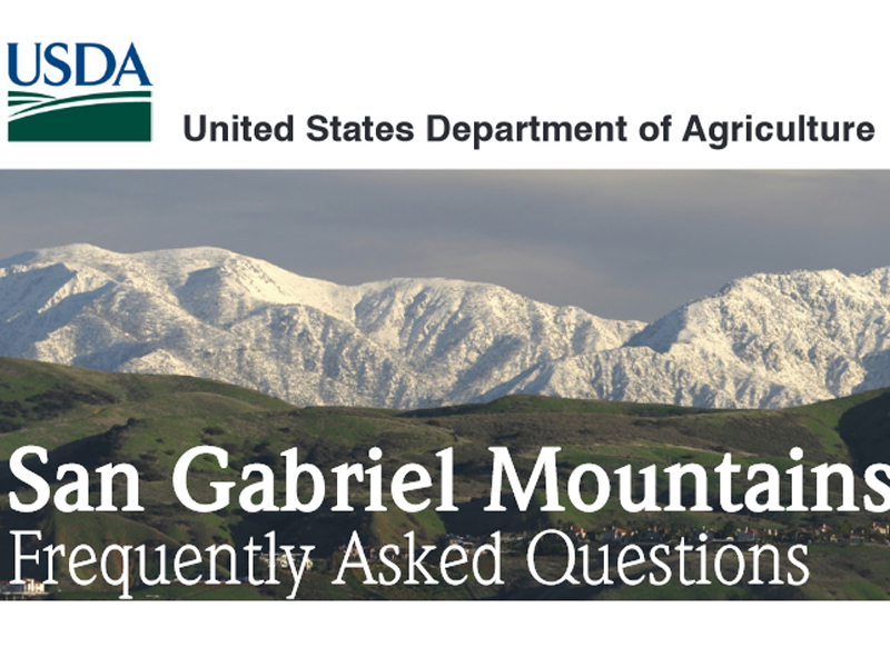
FAQ: San Gabriel Mtns Nat Monument 2014
Video: Monument Signing Ceremony 2014
New Signage 2/18/2015
The Stories of Monarch and Pinto
Mining & Ranching in Soledad Canyon & Antelope Valley (Earle 2003)
Black Cat Mine
1967: Forest Turns 75
(Newhall Ranger Station 1923)
Newhall Ranger Station 1950s
District Map 1953
Cultural Resources: Verizon Facility, Mt. Baldy
Film: The Big Bus 1976
|
[ RETURN TO TOP ]
[ RETURN TO MAIN INDEX ]
[ PHOTO CREDITS ]
[ BIBLIOGRAPHY ]
[ BOOKS FOR SALE ]
SCVHistory.com is another service of SCVTV, a 501c3 Nonprofit • Site contents ©SCVTV
The site owner makes no assertions as to ownership of any original copyrights to digitized images. However, these images are intended for Personal or Research use only. Any other kind of use, including but not limited to commercial or scholarly publication in any medium or format, public exhibition, or use online or in a web site, may be subject to additional restrictions including but not limited to the copyrights held by parties other than the site owner. USERS ARE SOLELY RESPONSIBLE for determining the existence of such rights and for obtaining any permissions and/or paying associated fees necessary for the proposed use.
The site owner makes no assertions as to ownership of any original copyrights to digitized images. However, these images are intended for Personal or Research use only. Any other kind of use, including but not limited to commercial or scholarly publication in any medium or format, public exhibition, or use online or in a web site, may be subject to additional restrictions including but not limited to the copyrights held by parties other than the site owner. USERS ARE SOLELY RESPONSIBLE for determining the existence of such rights and for obtaining any permissions and/or paying associated fees necessary for the proposed use.


