|
|
City of Santa Clarita Feasibility Committee
Click image to enlarge
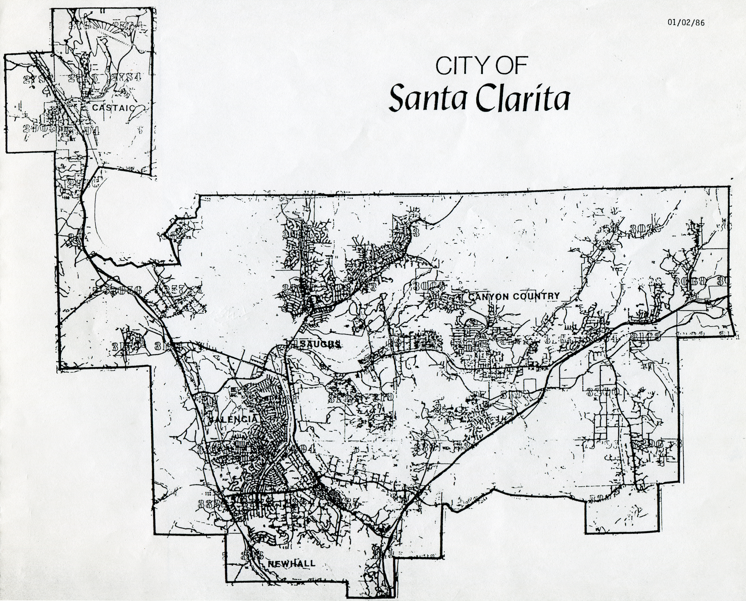
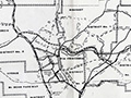
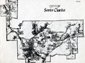
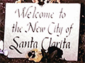
Map showing the boundaries of the City of Santa Clarita as originally proposed at 90 square miles (Jan. 2, 1986 version). Signatures were gathered from residents within this area to initiate the process of incorporating this area as a city. As a result of subsequent hearings in 1986 and early 1987, Los Angeles County's Local Agency Formation Commission (LAFCO) scaled back the proposal to 39.5 square miles, removing areas west of Interstate 5, north of today's Copper Hill Drive, and east of State Route 14 (but leaving in the developed parts of Sand Canyon). Forming a new city required the consent of the governed, and in the case of built communities, that meant a vote of the residents. In the case of large swaths of raw, buildable land, LAFCO honored the wishes of the landowners. The developers of planned subdivisions that did not yet exist — Stevenson Ranch, Valencia-Westridge, Tesoro Del Valle, Fair Oaks Ranch and others in between — opted out. Interstate 5 formed a natural boundary, and with no more land mass to connect to Castaic, LAFCO deleted Castaic from the map — even though Castaic residents were among the earliest and most vocal cityhood proponents. The result was essentially a line drawn around the built communities of Newhall, Saugus, Canyon County and Valencia. (Most parts of all four were included, but portions of each were excluded.) Residents within the final boundaries as set by LAFCO voted to incorporate as a city on Nov. 3, 1987 (69 percent voting yes, 31 percent voting no). Simultaneously, the voters elected their first 5-member City Council and opted for their representatives to be elected at-large (instead of by council district). Incorporation occurred Dec. 15, 1987. As new subdivisions have been developed in subsequent years, their residents have opted to join (annex into) the city, which has grown to encompass 57.9 square miles and 209,130 people as of May 1, 2014 ‐ making Santa Clarita the third largest city in Los Angeles County after Los Angeles and Long Beach.
LW8602: 19200 dpi jpeg from photocopy in files of Connie Worden-Roberts. |
Santa Clarita at 30
FULL BOOK
Press Kit 10-14-1985
Membership Form ~1985
Cityhood Application 12/17/1985
Boundary Map 1/2/1986
Cityhood Petition #1, 1986
Pre-Cityhood Chamber Meeting ~1986
Formation Committee Logo 1987
First Public Forum 1/13/1987
Poll Results: Cityhood (Feb. 1987) The Case for Cityhood (Presentation to LAFCO, 2-25-1987)
Arthur Young Report 9-18-1987
Cityhood Campaign Office
Storyboard: TV Commercial 1987
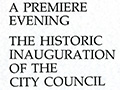
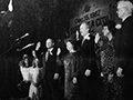
Inauguration Program 12/15/1987
Audio Recording of First City Council Meeting 12/15/1987
Incorporation Night Slide Show 12/15/1987
Post-Election Voter Registration Drive 12-1-1987
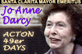
Jo Anne Darcy | Legacy
Carl Boyer | Legacy
History of the Push for Self-Government, Connie Worden-Roberts, 1999
|

The site owner makes no assertions as to ownership of any original copyrights to digitized images. However, these images are intended for Personal or Research use only. Any other kind of use, including but not limited to commercial or scholarly publication in any medium or format, public exhibition, or use online or in a web site, may be subject to additional restrictions including but not limited to the copyrights held by parties other than the site owner. USERS ARE SOLELY RESPONSIBLE for determining the existence of such rights and for obtaining any permissions and/or paying associated fees necessary for the proposed use.
