|
|
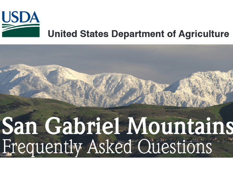
San Gabriel Mountains
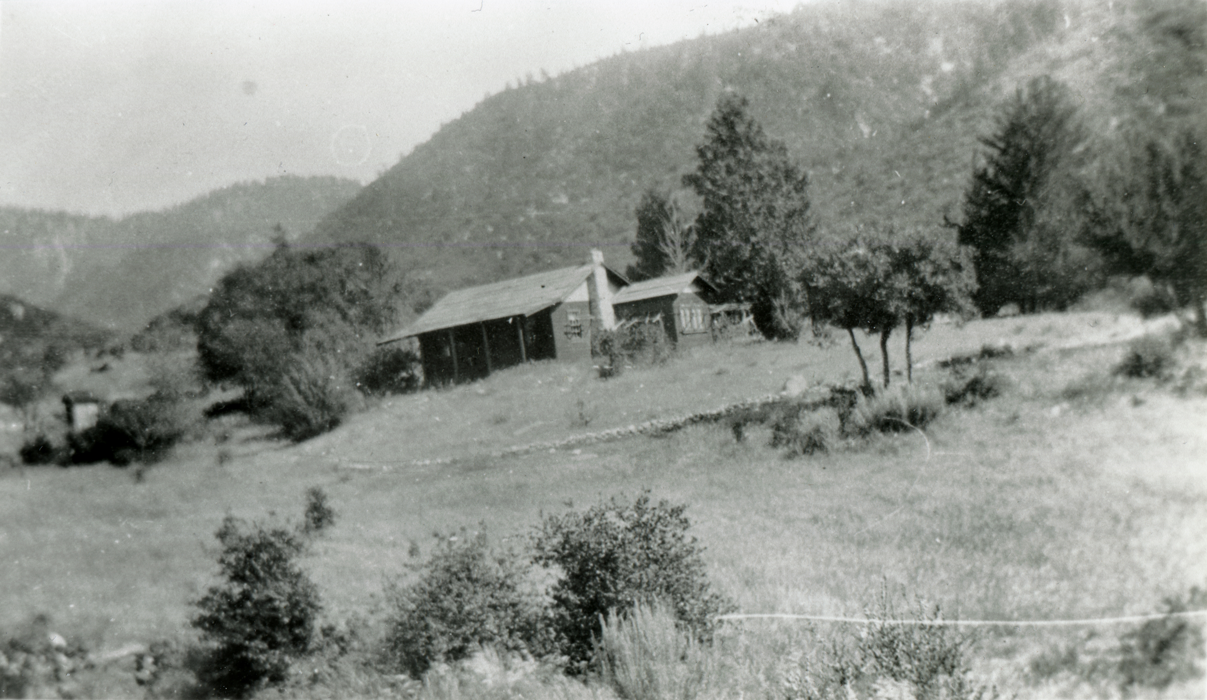
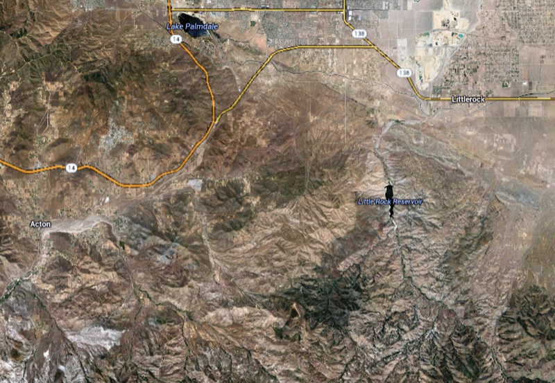
Click image to enlarge The Black Cat Mine was one of several lesser-known gold mines that dotted the San Gabriels (now Angeles National Forest) at the tail end of the 1800s, at the same time bigger mines around Acton, like the New York (Governor) and Red Rover, were producing significant quantities of ore. The Black Cat was located 10 miles east of Acton and 5.6 miles southwest of the town of Littlerock. It's hard to tell, but it looks like we might be seeing the transition from oak trees to pine trees, which would put it at about the 3,000-foot level. Anthropologist David Earle (Antelope Valley College), in a 2003 report on early settlement and economic activity in the Little Rock Creek Watershed, indicates the Black Cat was also called the Gold Note mine. Earle writes: "During the 1890s, J.M. Pierson (or Pearson) developed the Black Cat or Gold Note Mine in Section 30, T4N, R11 W, S.B.B.M., within the National Forest reserve. ... It was stated in 1896 that a 20-stamp quartz mill was being operated in connection with the mine, the latter owned by 'Pierson, Bell, and Stamp' (State Mineralogist 1890:194-195). It is not entirely clear if this refers to the quartz mill shown on the 1897 plat survey map for township T4N, R12W, S.B.B.M.. This mill is shown as located on the Aliso Canyon wagon road, near Tie Canyon, just to the north of the Gold Note Mine. General Land Office map notes mention another mine, the Gold Queen, as located just to the southwest of the Gold Note. G.L.O. survey records refer to the 'Gold Bar' group of claims in this area. Pierson was said to have been settled on the wagon road about a mile to the northwest of the stamp mill since 1890 (B.L.M. Plat Surveys 1896:249-250)."
AP3105: 19200 dpi jpeg from copy print. |
List: Ranger Stations & Fire Stations
Brief History of Angeles Natl Forest
Map: San Gabriel Mtns Nat Monument 2014
SCV Area Map 2014
FAQ: San Gabriel Mtns Nat Monument 2014
Video: Monument Signing Ceremony 2014
New Signage 2/18/2015
The Stories of Monarch and Pinto
Mining & Ranching in Soledad Canyon & Antelope Valley (Earle 2003)
Black Cat Mine
1967: Forest Turns 75
(Newhall Ranger Station 1923)
Newhall Ranger Station 1950s
District Map 1953
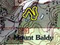
Cultural Resources: Verizon Facility, Mt. Baldy
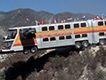
Film: The Big Bus 1976
|

The site owner makes no assertions as to ownership of any original copyrights to digitized images. However, these images are intended for Personal or Research use only. Any other kind of use, including but not limited to commercial or scholarly publication in any medium or format, public exhibition, or use online or in a web site, may be subject to additional restrictions including but not limited to the copyrights held by parties other than the site owner. USERS ARE SOLELY RESPONSIBLE for determining the existence of such rights and for obtaining any permissions and/or paying associated fees necessary for the proposed use.
